
The “Elegant” Beltline Solution and Dekalb 670-690
During the presentations on September 21, 2016 at the Trolley Barn, the only thing which became clear was that the issues under discussion reside on three different levels. Those levels need to be separated and understood in order to make informed decisions and votes. Look at the Site Plan.
Level One
Two options for the Streetcar/Light rail solution will be presented to the Federal Government to get major funding and have already been selected.
Option A: the Streetcar/Light rail will run in its own right of way which is principally next to and part of the Beltline pathway and go straight South, underneath Dekalb and the Yard.
Option B: The Streetcar/Light rail will depart from the Beltline path at Lake Avenue, make its own way through the Old Forth Ward and end up at the Grant Street tunnel to reach Memorial Drive.
Now, after the experience the community had and still has with the Edgewood street car and its highly questionable contribution to the neighborhoods it is going through, I do believe it can safely be said that Option B is a non-option. However, not only is it a non-option, it is actually a small-scale Trojan horse, once brought in, it will destroy the opportunity to get a new tunnel under Dekalb and the Hulsey Yard because there is no more need for it: The Beltline multi-purpose path crawls through the Krog Street tunnel and the rail goes through the already existing Grant Street tunnel. Good-by “Elegant” Solution.
Conclusion for the Level One issue:
The full support of the neighborhood has to go to Option A, and Option B has to be taken OFF THE TABLE and NOT be sent anywhere.
Level Two
There are two alignment options for the Beltline and its Streetcar after it passed under Edgewood Avenue:
Option X: The “Elegant” Solution – based on the original Beltline concept – moves straight towards Dekalb Avenue, starts to go down somewhere along the way, NOT into a tunnel before reaching Dekalb Avenue-, finds the best two pylons of the Marta line to go between and continue straight – the shortest distance under the Hulsey Yard. Once it reaches the other side it uses a new right of way between the Yard’s retaining wall and Willey Street to come up and reach Krog Street at grade. According to the presentations, this is a doable solution regarding permitted grade changes etc. and the multipurpose trail can keep the Street car company in one form or another.
My interpretation of the “Elegant Solution” with a development proposed, reduced width of 60’ and 80’ site line for the Beltline is roughly overlaid onto site plan as printed in the Advocator (the indicated widths have not been confirmed).
Option Y: The “Swerve” solution –beyond Edgewood Avenue, the Beltline starts to bend slightly to the east, cuts in below the current pedestrian ramp like it wants to go on to the Krog Tunnel. However, it is only following the currently envisioned alignment of the multipurpose path towards the Krog tunnel which is, of course, currently and for some time to come the only way to get to the “other side”. Near Dekalb Avenue, the Streetcar corridor moves more to the South, and adds a curve to the East underneath the Hulsey Yard in order to make the grade at Krog Street at the “other side”. To be brief, there is no advantage in this alignment either for the Streetcar nor for the Beltline from an alignment point of view. The curve and the rise underneath Hulsey do raise also more than eyebrows.
Conclusion:
Option X, the “Elegant Solution” is better, easier, more attractive and shall be the only one to be pursued.
Level Three
The implications of Level One and Two for the proposed site plan, the Certificate of Appropriateness and the Special Use Permit
By preserving the opportunity for the “Elegant Solution” to be implemented in future, the site plan with the “swerve” does not work and requires severe revisions. Alternative site plans presented during the meeting may allow for the “Elegant Solution” to be implemented, however, if I recall this correctly, with the requirement to reduce the right of way of the Beltline even further. And, as I only learned from the minutes of the last meeting, that proposal includes an extended tunnel solution underneath the newly built structures? Now we are talking financially “not feasible”.
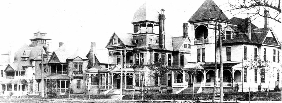
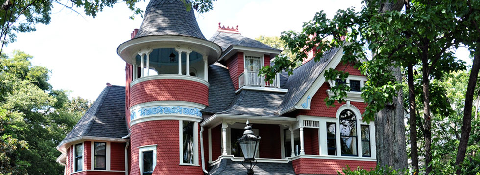
The pending application to the Atlanta Urban Design Commission – hearing set for September 28, 2016- is far reaching and ambitious on part of North American Properties and Brock Hudgins, the architects. The majority of the parcel falls under the Inman Park Historic District Regulation under Section 16-20L.008 Subarea 3 which regulates all building aspects. The Statement of Intent, point b: Assure that uses and building forms are compatible with the scale and character of Subarea 1 (which is the historic core of Inman Park).
All three applications for 670-690 Dekalb Avenue are designed to modify the framework as provided by the Historic District Regulations for the Railroad Corridor. All three applications will result in a higher density then permitted under the regulations, hence the need for variances. In addition, if the variances are granted, the Beltline may be able to retain its preferred alignment, however not its desired right of way and openness, which if I noted it correctly during the presentation, was 105 feet. Unfortunately, the driving force is not how to achieve the highest quality environment for the Beltline but how to achieve the highest density under adverse circumstances on challenging plots.
The reason that the neighborhood has adopted Historic District Regulation is that architects and planners have guidelines for successful project development. Guidelines are there to assure desirable, qualitative development. The site plans presented so far will only work if the neighborhoods involved and the AUDC decide to grant height variances and development right transfers, both resulting in greater building height and higher densities and higher occupancies then permitted without variances.
The neighborhood should request a professionally conducted presentation, explaining all proposed building heights and volumes as well as uses, unit counts, vehicular access and parking decks. In addition there needs to be clarity about the impact of the Development Right Transfers and the height variances, presented with the audience in mind. Meanwhile the development team should withdraw its application to the AUDC until the neighborhood has been informed sufficiently to make sound decisions. This would avoid motions resulting in the vote for the Gumby R.O.W. abandonment: it was connected to the approval of the site plan and should have been treated accordingly. Motions to vote are only as good as the understanding of their consequences.
Final Conclusion
The Beltline as a principally City owned public institution has gained huge public recognition and continues to increase the quality and the attractiveness of the neighborhoods it is going through. This success and economic potential shall not be comprised by maxing out high density as the primary goal of development but to demonstrate inventiveness and playfulness – these are places for people to live and work and relax. The frequently used line that …“otherwise the project is not viable” is only a feeble excuse to not revise a very limited business model. Given the strong, national reputation of the Beltline, alternative solutions can certainly be found and developed.
Klaus Roesch
Architect and City Planner
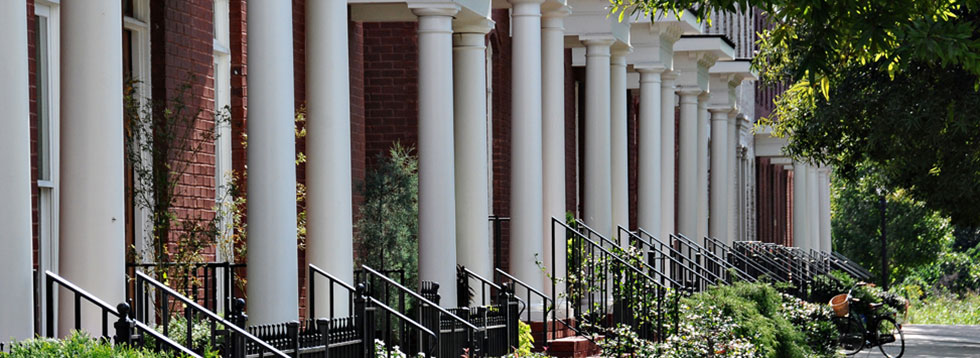
30 year home owner in Inman Park
Site Plan
